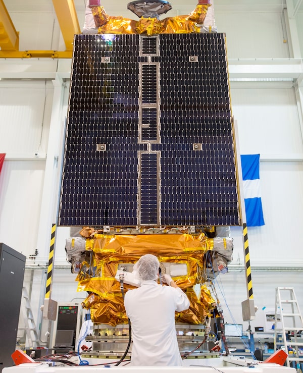
Technicians put the final touches on the second of three Radarsat Constellation Mission satellites.Ryan Remiorz/The Canadian Press
The most important and expensive Canadian space project in a decade is about to leave the building.
Engineers at a facility near Montreal are making their final checks of three identical satellites that together make up the Radarsat Constellation Mission. Built by MDA (now the U.S.-based Maxar Technologies), each spacecraft carries a sophisticated radar imager that can see details on Earth’s surface down to one metre. They are scheduled to be shipped separately to California next month where they will be reunited in advance of a scheduled November launch aboard a Space X Falcon 9 rocket.
Once in orbit, the trio will spread out along a circular track that wraps around Earth’s poles, ensuring far more frequent coverage of Canada’s land and waters than is possible with a single satellite.
“Every 24 hours we’ll have an image of any point in Canada,” said Guennadi Kroupnik, director of space utilization projects for the Canadian Space Agency. “In the Canadian Arctic, it will be four times per day.”
Imaging radar has proved crucial for monitoring sea ice and other environmental conditions in the North because the system works day and night and is unaffected by clouds. For a cost that runs northward of $1-billion, the three-satellite constellation will take over from the single Radarsat-2, which has been operating since 2007.
Together with the astronaut program, the mission has commanded the lion’s share of Canada’s space budget for several years and it is the biggest project the space agency has undertaken since the Canadarm 2 was built for the International Space Station.
 Ivan Semeniuk