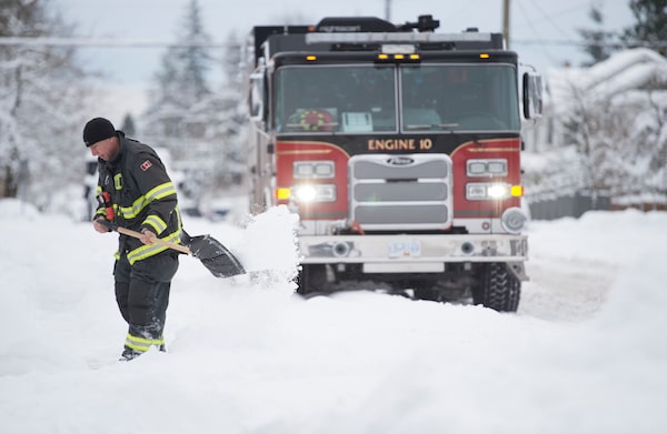
A firefighter shovels a sidewalk in North Vancouver, B.C., on Jan. 15, 2020.JONATHAN HAYWARD/The Canadian Press
Metro Vancouver residents slogging through snow can expect a mix of wintry conditions as Environment Canada forecasts more snow, freezing rain and strong winds.
The agency says a storm is expected to arrive Friday evening before transitioning to the usual – rain.
Heavy snow is forecast for parts of the south coast, including the Fraser Valley, Howe Sound and Whistler, where temperatures are expected to remain slightly below zero as warmer air makes way for freezing rain.
Environment Canada is forecasting significant snow on the north coast, persisting until Monday in Kitimat, with moderate snowfall amounts expected in Terrace.
It says stronger outflow winds and fresh snow will result in near-zero visibility in that area, as well as extreme wind chill through the weekend.
As for Canada’s coldest spot, the agency says residents of Carmacks, Yukon, are experiencing temperatures of nearly –50 C before the mercury is expected to climb to –22 C early next week.
Our Morning Update and Evening Update newsletters are written by Globe editors, giving you a concise summary of the day’s most important headlines. Sign up today.